
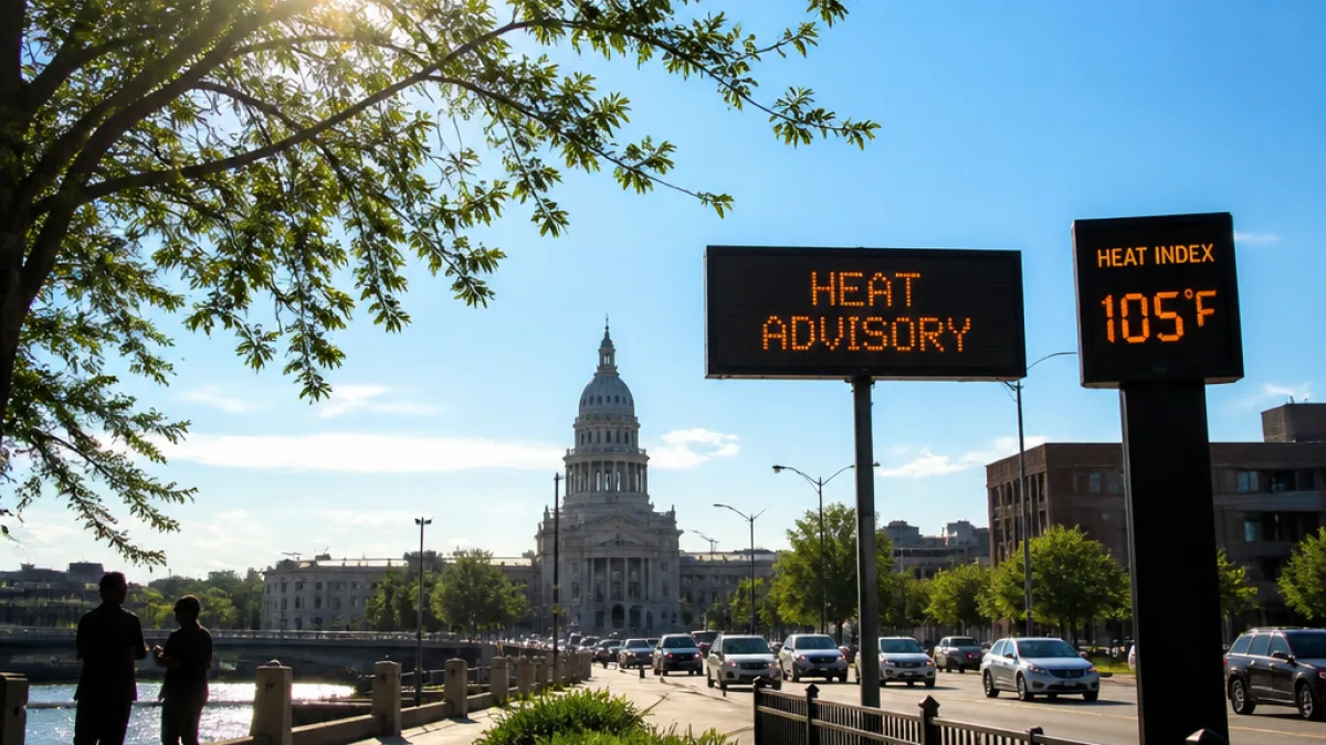
Michigan is entering a period of hazardous heat that will affect large parts of the state through at least Wednesday, federal forecasters say. High temperatures are expected to climb into the 90s with humidity driving heat-index values — the “feels like” temperature — into the triple digits in some areas.
Who’s at greatest risk
The National Weather Service has issued an Extreme Heat Warning for the entire Upper Peninsula on Monday, with heat-index values forecast to reach between 105 and 110 degrees and afternoon highs in the 90s. The warning runs from noon through 10 p.m. Monday.
Lower Michigan faces its own threat: a Heat Advisory covers northern parts of the Lower Peninsula beginning Monday afternoon and continuing into Tuesday morning. Forecasters say much of Lower Michigan will see highs in the 90s on Monday, and Tuesday could be the hottest day statewide with regions such as northeast Lower Michigan and the Saginaw Valley facing actual air temperatures that may approach 100 to 105 degrees.
Practical precautions
High humidity will reduce overnight cooling; lows are expected to remain in the 60s and 70s through Tuesday night, offering little nighttime relief. Health authorities recommend these basic actions:
- Stay hydrated; drink water regularly even if you don’t feel thirsty.
- Limit strenuous outdoor activity during peak afternoon heat, especially Tuesday.
- Check on elderly neighbors, infants and people with chronic medical conditions.
- Know the signs of heat exhaustion and heat stroke and seek immediate care if symptoms appear.
Local cooling centers and community programs often open during extreme heat events; residents should consult city or county websites and local social service agencies for up-to-date information on available sites.
Forecast snapshot
| Region | Expected highs | Heat-index range |
|---|---|---|
| Upper Peninsula | 90s | 105–110 |
| Lower Michigan (northern) | 90s | 96–103 |
| Lower Michigan (northeast, Saginaw Valley) | Near 100–105 | Mid/upper 90s to 100+ |
Forecasters expect the most intense heat to be relatively brief. A change in the large-scale pattern should introduce northwest flow by Wednesday, easing temperatures back toward seasonal norms — upper 80s to low 90s — by Thursday. Scattered rain chances are expected to return later in the week, which may help cool some areas.
For people who must be outdoors for work or recreation: schedule heavy exertion for early morning or evening, rehydrate frequently, wear lightweight clothing and take regular breaks in shade or an air-conditioned location. Employers and event organizers should review heat-safety plans and consider modifying schedules to reduce risk.
This heat event underscores the importance of local preparedness, especially for residents without reliable access to cooling. Check with county or municipal officials for information on shelters, cooling centers and emergency services in your community.
If you experience symptoms such as dizziness, fainting, rapid heartbeat, confusion or a high body temperature, seek medical attention immediately.
Reporting from Lansing, Malik Turner, News Block.
















