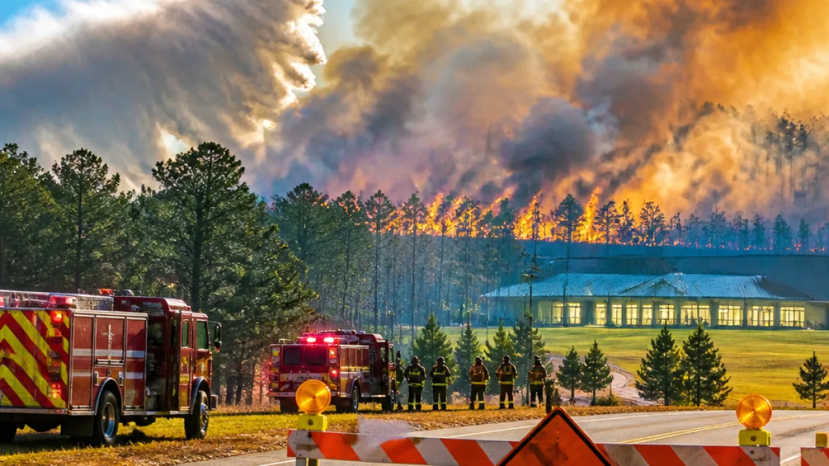
CALHOUN COUNTY, Ark. — A fast-moving wildfire reported Monday afternoon has burned about 1,300 acres between East Camden and Hampton, north of Highway 278, state Forestry Division officials said Tuesday.
Response, evacuations and smoke concerns
Firefighters from ground crews have been working on containment since the blaze was first reported. Air resources joined the response on Tuesday. Authorities ordered evacuations and closed roads in both Calhoun and neighboring Ouachita counties. Local shelters were established for residents displaced by the fire.
As of early Tuesday afternoon, officials had not released a containment percentage nor announced a suspected cause.
Weather conditions hampering visibility
Smoke and visibility became major concerns after an atmospheric inversion developed Monday night and lasted into Tuesday morning. With calm winds, the inversion kept smoke trapped near the ground, producing very thick concentrations and extremely low visibility for communities downwind of the fire.
Meteorologists say such inversions occur when a layer of air higher up is warmer than the air at the surface, preventing vertical mixing. When that happens overnight and winds remain light, smoke cannot rise and disperse; it typically begins to lift by mid- to late-morning as the inversion weakens.
- Reported acreage: about 1,300 acres
- Location: between East Camden and Hampton, north of Highway 278
- Counties affected: Calhoun and Ouachita
- Response: ground crews and air support; evacuations and shelters in place
| Item | Detail |
|---|---|
| First reported | Monday afternoon, Sept. 14 |
| Latest acreage | ~1,300 acres (as of 2:40 p.m. Tuesday) |
| Nearby roads | Highway 278 (north of) |
Local residents should follow instructions from emergency management and law enforcement. Officials advised people to avoid affected roadways and heed evacuation orders. Conditions on the fire remain fluid; agencies have not yet determined a cause and will update the public as additional information becomes available.
News Block will continue to follow this developing story and provide updates as officials release further details.