
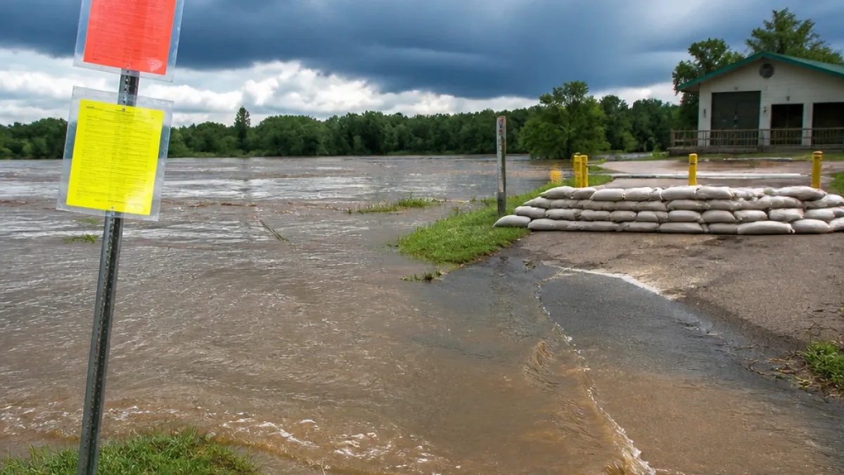
Flood threat tied to tropical moisture and stalled frontal boundary
The National Weather Service in Lake Charles has issued a flood warning for the Vermilion River in Lafayette, effective Monday through Tuesday evening, as tropical moisture from the Gulf combines with a stalled frontal boundary to produce widespread showers and thunderstorms.
At 9:15 a.m. Monday the river was measured at 8.2 feet. Forecasters said the river is expected to rise above flood stage — which is 10.0 feet — and crest near 11.0 feet this evening before falling below flood stage late tonight. Possible higher levels, up to 11.5 feet, could bring minor flooding impacts in low-lying local areas.
Where Lafayette residents may see impacts
- Minor flooding is possible at Beaver Park and Vermilionville if the river approaches the higher projected levels.
- Flash flooding from heavy downpours remains a concern as showers and thunderstorms move through the region.
- Outdoor events and low-lying roads near the river may face temporary closures or standing water.
Senior Meteorologist Damon Singleton told the weather office that tropical moisture will increase significantly across southeast Louisiana, and the stalled front will act as a focus for repeated rounds of heavy rainfall. The flood threat is expected to intensify Monday.
"Tropical moisture from the Gulf is expected to increase significantly across southeast Louisiana and combine with a stalled frontal boundary," the National Weather Service said.
Rain timeline and amounts for Lafayette
Forecast details from the National Weather Service for Lafayette-area conditions include:
| Day | Chance of Precipitation | Expected Rainfall | High |
|---|---|---|---|
| Monday | 90% | 0.25–0.5 inch | — |
| Tuesday | 60% | 0.1–0.25 inch (mainly before 10 a.m.) | ~83°F |
| Wednesday | 40% | Scattered showers after 1 p.m. | — |
| Thursday | — | Improving; mostly sunny | ~93°F |
What Lafayette residents should do now
- Monitor local forecasts and river levels through the National Weather Service and parish alerts.
- Avoid driving through flooded roadways; water depth can be deceptive and dangerous.
- Be prepared for localized flooding near parks and riverfront attractions such as Beaver Park and Vermilionville.
This event fits a broader pattern seen across parts of Louisiana, where Gulf moisture and stalled fronts often deliver concentrated rainfall and flash flooding in summer months. For now, conditions should begin to improve Thursday with warmer, drier weather returning.
Local officials will issue additional advisories if the situation changes; residents should keep phones charged, have an emergency plan for low-lying properties, and heed any road or evacuation notices from parish authorities.
















