
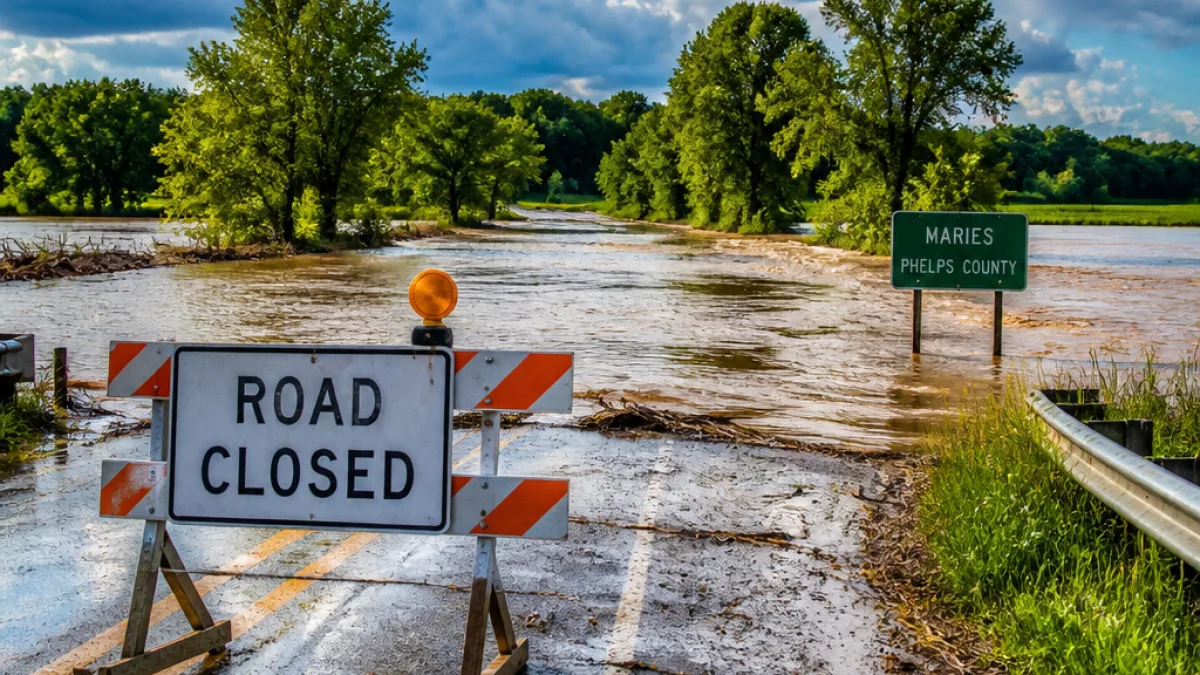
The National Weather Service in Springfield issued a Flood Warning Friday morning after Doppler radar showed intense thunderstorms producing heavy rainfall across portions of central and east-central Missouri. The warning covers counties including Maries and Phelps, with impacts expected through 10 p.m. CDT.
Where flooding is expected and why it matters
According to the advisory, areas of the warned region have already received between 2 and 6 inches of rain. That amount of precipitation has placed rivers, creeks and low-lying locations at imminent risk of flooding. The advisory specifically listed low-water crossings that are affected, and named communities that may see localized flooding.
- Counties mentioned: Maries and Phelps
- Reported rainfall: 2–6 inches
- Threat window: through 10:00 p.m. CDT Friday
- Example locations listed: Rolla, St. James, Doolittle, Northwye, Vichy and Rosati
Specific road and stream impacts
The warning named several low-water crossings where flooding has occurred or is expected, including:
| Stream/Crossing | Location |
|---|---|
| Montague Creek | Highway E |
| Montague Creek | County Road 510 |
| Mill Creek | County Road 521 |
Officials noted that while additional rainfall was not expected at the time of the advisory, the existing runoff and swollen channels mean flooding impacts would continue for hours.
"Turn around, don’t drown when encountering flooded roads. Many flood deaths occur in vehicles."
What Springfield-area residents should know
Although the advisory names communities north and east of Springfield, the warning issued by the Springfield NWS office is a reminder that this part of Missouri can see rapidly changing conditions during summer thunderstorms. Residents should monitor local forecasts and avoid driving through standing water. Floodwaters can hide hazards such as washed-out pavement, debris or strong currents.
Local officials typically advise these practical safety steps: stay informed through official channels, do not attempt to cross flooded roadways, and move to higher ground if you are in a low-lying area experiencing rising water. For more safety guidance, the NWS recommends visiting their flood safety resources online.
This Flood Warning will remain in effect until 10:00 p.m. CDT Friday. News Block will monitor updates from the National Weather Service and local responders and will post any new advisories affecting Springfield and surrounding communities.
















