
Overview
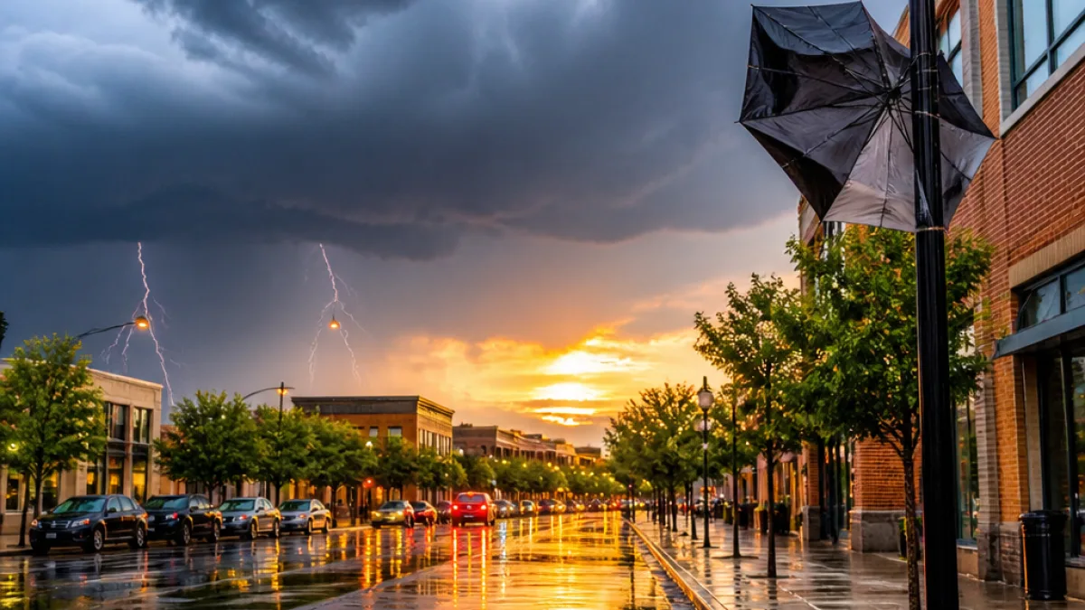
The week beginning July 12 will bring a familiar summer pattern to Clarksville and Montgomery County: early-week showers and thunderstorms followed by progressively warmer, more humid afternoons. The National Weather Service–style guidance for the area indicates several rounds of storms through midweek before heat builds toward the end of the work week.
What to expect day by day
Widespread showers and thunderstorms are most likely to affect the region on Sunday, with showers becoming more numerous through the afternoon. Highs will top out near 83°F, with north winds at about 5–10 mph. The chance of measurable precipitation is highest on Sunday at roughly 80%, and stronger storms could bring locally heavier rainfall.
Late Sunday evening and overnight, showers and storms should continue before beginning to taper after midnight. Overnight lows are expected to fall to around 69°F, and the chance of lingering rain overnight is about 60%.
Monday should start with a good deal of sunshine, but typical summertime instability will favor storm development again in the afternoon — especially between 1 p.m. and 4 p.m. Highs should reach roughly 84°F, with a 60% chance of afternoon/evening showers and thunderstorms. Conditions will improve Monday night as rain diminishes; the overnight rain chance drops to about 30%.
Tuesday remains warm and unstable. Expect mostly sunny skies in the morning followed by a 50% chance of afternoon and evening storms after 1 p.m. Highs climb into the upper 80s — near 87°F — with light east winds of 5–10 mph.
| Day | High | Overnight Low | Rain Chance |
|---|---|---|---|
| Sunday | 83°F | 69°F | 80% |
| Monday | 84°F | 69°F | 60% |
| Tuesday | 87°F | — | 50% |
Impacts and local context
These storm chances mean outdoor activities — from youth sports at regional parks to evening events downtown and at Austin Peay State University — carry the possibility of interruption or brief severe gusts. Any thunderstorm may
"produce brief heavy downpours, gusty winds, and dangerous lightning"so organizers and families should keep an eye on forecasts and have shelter plans.
- Plan for quick changes: Afternoon heat and humidity can trigger rapid storm development.
- Outdoor schedules: Try to schedule kids' practices and community events for mornings where possible.
- Safety: Avoid shelters under trees and stay off the water while storms are active.
Looking ahead
Rain chances are expected to diminish as the week progresses and daytime highs climb toward the upper 80s and low 90s by Thursday. That shift will bring more heat-related considerations for residents and public services. Stay tuned to local forecasts and Montgomery County emergency information for any watches or warnings, and check updates before heading outdoors.
Local agencies and community groups planning outdoor gatherings this week should closely monitor conditions each morning and have contingency plans for relocating or postponing activities if storms develop in the afternoon.
















