
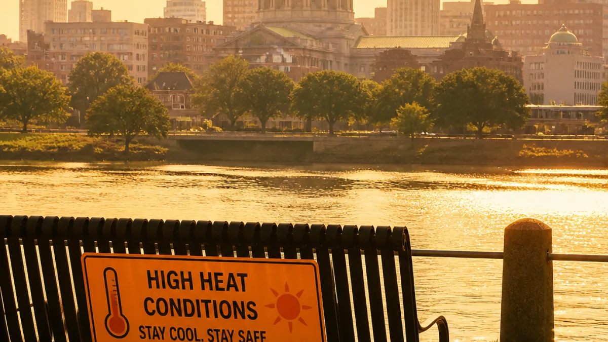
A stubborn dome of high pressure will keep south‑central Pennsylvania hot and humid through Friday, with a Heat Advisory in effect across parts of the Susquehanna Valley and smoky skies arriving from Canadian wildfires, weather officials said Tuesday.
Who’s under advisory and when
The National Weather Service and local broadcasters warn that several counties will feel the worst of the heat. A Heat Advisory was in place for Mifflin, Juniata, Perry, Dauphin and Lebanon counties until 8 p.m. Tuesday, and forecasters extended advisories to all counties in the Susquehanna Valley from 11 a.m. to 8 p.m. Wednesday.
| Day | Forecast high | Heat index | Notes |
|---|---|---|---|
| Tuesday | Around 96° | Near 100° in affected counties | Heat Advisory until 8 p.m. in northern counties |
| Wednesday | Up to 97° | 100–104° in many locations | Heat Advisory 11 a.m.–8 p.m. across the Susquehanna Valley |
| Thursday | ~94° | Heat index could still approach 100° | Weak cold front brings slight relief |
| Friday | 94° | Lower humidity; heat eases | Humidity drops more by afternoon |
Health and safety concerns
Highs in the mid‑ to upper‑90s combined with dew points near 70 will push heat indices into the range where heat illness becomes a concern for prolonged outdoor exposure. The record high in Harrisburg for late July is 99°, set in 2024; Wednesday’s forecasted 97° will be close to that mark.
- Limit strenuous outdoor activity during the hottest part of the day.
- Stay hydrated and seek air‑conditioned spaces if possible.
- Check on older neighbors and people with chronic illness; they are at higher risk.
- Never leave children or pets in parked vehicles.
Forecasters also cautioned residents about hazy or smoky skies as winds continue to transport smoke from active wildfires in Canada. While the smoke is not expected to dramatically alter the temperature forecast, it can reduce air quality and aggravate respiratory conditions for sensitive individuals.
Short‑term outlook and what to expect
The heat will begin to ease late Thursday as a weak frontal passage drops southward. Humidity should fall enough that heat indices come down, though afternoon temperatures near 94° on Thursday and Friday will still be above seasonal normals. By the weekend, highs are expected to fall to the mid‑80s with scattered thunderstorms possible Saturday and a chance of storms Sunday.
Next week’s pattern looks closer to seasonal averages with daytime highs in the mid‑80s and dew points in the 60s. There may be additional thunderstorm chances beginning Monday and increasing into Tuesday and Wednesday of next week.
Residents with questions about the Heat Advisory or local air quality should monitor notices from the National Weather Service and local health departments for updates and guidance.
















