
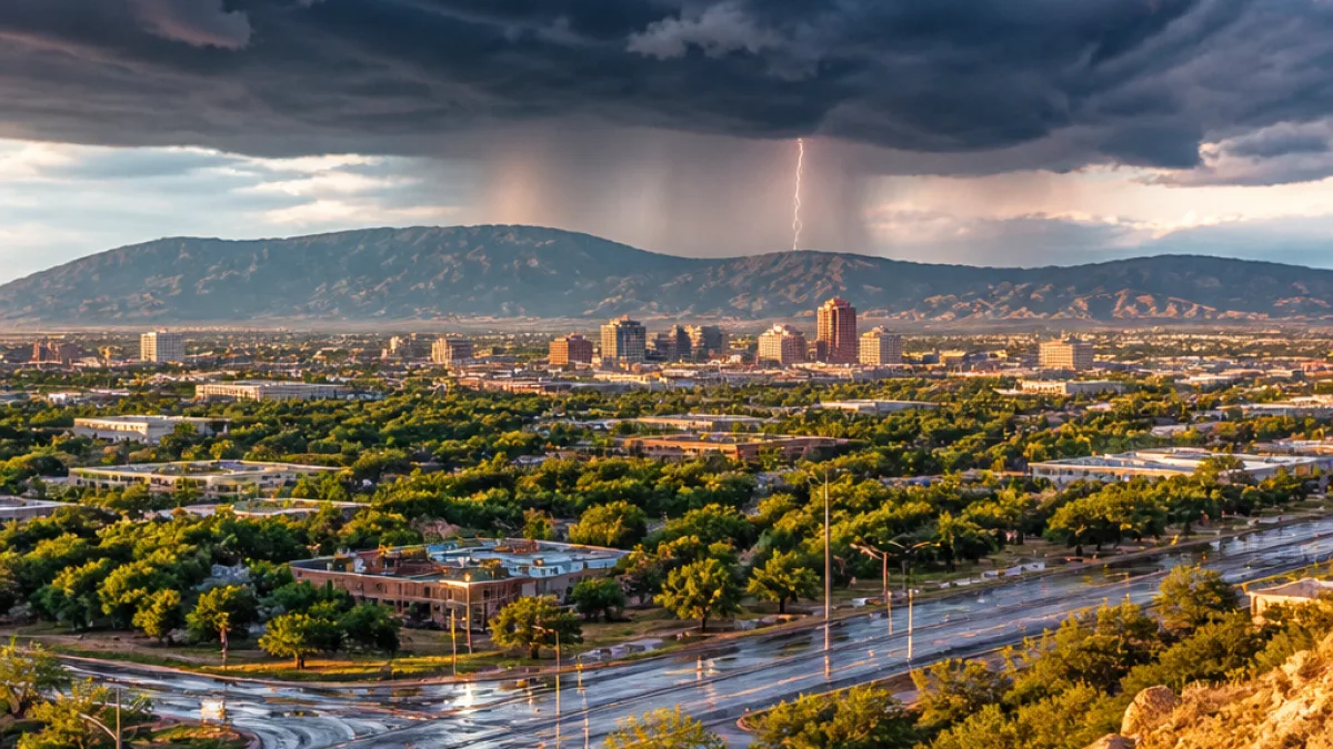
Scattered monsoon showers and storms will persist across New Mexico through the coming week, bringing the possibility of heavy rainfall and strong winds in spots, forecasters said Saturday.
Where rain is most likely
The greatest likelihood of precipitation will remain mostly to the south and east of Albuquerque, while the metro area faces only a modest chance of storms. Forecast guidance shows Albuquerque's Sunday probability of measurable rain at about 20–30%.
| Area | Near-term rain chance | Notable risk |
|---|---|---|
| Albuquerque area | 20–30% (Sunday) | Scattered, generally lighter showers |
| Southwest New Mexico | Higher by Monday–Tuesday | Periods of heavy rain |
| Statewide afternoons | Daily through next week | Storms pop up each afternoon |
Forecasters expect daily afternoon storms to redevelop across portions of the state each day. Rainfall concentrations could expand by midweek, with Wednesday or Thursday highlighted as times when more locations may see heavier totals.
Local impacts and air quality
Storms capable of brief heavy downpours pose localized flooding and runoff concerns, particularly in burn-scarred landscapes and urban drainage areas. Strong gusty winds are also possible with some cells.
- Heavy rain may be most pronounced in the southwest corner early next week (Monday–Tuesday).
- Temperatures are forecast to dip a few degrees across much of the state by early next week.
- Light smoke from regional fires may linger aloft, but air quality should remain in the good to moderate categories for most areas.
Residents should monitor local forecasts and be prepared for sudden downpours and gusty winds during afternoon and evening hours. Drivers should use caution on slick roads and avoid crossing flooded washes. Local emergency management offices maintain updates for flood-prone areas and communities affected by recent wildfires.
News Block will continue to follow the monsoon pattern and report significant changes to precipitation outlooks and any advisories that affect New Mexico communities.
















