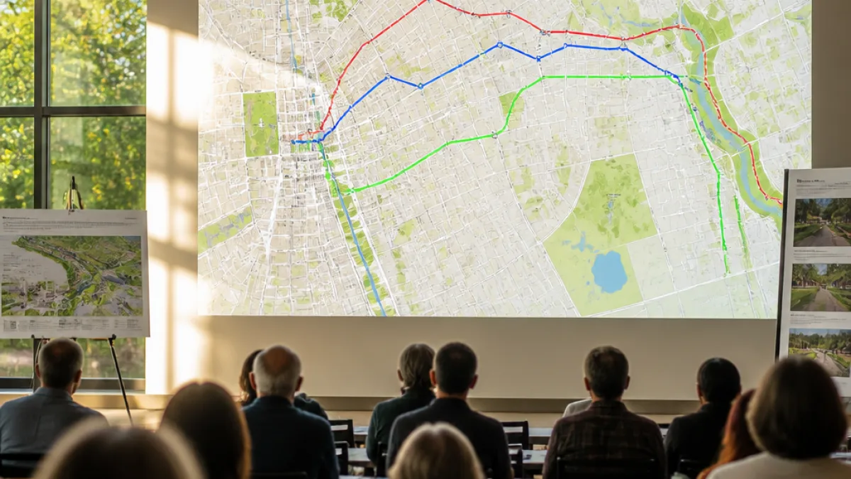
The City of Santa Rosa is advancing plans to connect downtown with the planned Southeast Greenway, unveiling three route alternatives this month that would create a continuous bike and pedestrian corridor from the city's western edge to Spring Lake Regional Park.
What changes for residents
The three options propose different alignments and treatments along streets that serve schools, parks and businesses. Decisions will affect commuting routes, safety for cyclists and pedestrians, on-street parking and how people access the 49-acre Greenway — land set aside for the two-mile linear park that was once eyed for a Highway 12 extension.
City planner Torina Wilson described each alternative at a recent briefing, noting trade-offs between directness, neighborhood impacts and the type of infrastructure proposed, such as raised lanes or parking-protected paths.
"One alternative goes almost entirely on Sonoma Avenue. It goes through Montgomery Village and then south on Hahman [Drive] until you get to Montgomery High School, and would link to where the Southeast Greenway is," Wilson said.
The three concepts fall into two broad route families: two that initially follow Sonoma Avenue with different turnoffs through neighborhood parks, and a third that takes a more southerly course using city streets such as Santa Rosa Avenue, Charles Street and Vallejo Street before jogging on Farmers Lane.
- Option A: Sonoma Avenue through Montgomery Village, then south on Hahman Drive to Montgomery High School.
- Option B: Sonoma Avenue with a turn at Doyle Park Drive, through Doyle Park to Hahman Avenue.
- Option C: South on Santa Rosa Avenue, across residential streets (Charles, Vallejo) with a Farmers Lane jog and separated or raised bike lanes.
Design treatments under consideration
Wilson said treatments vary by route. Some segments would feature parking-protected bikeways, others would use raised bike lanes or separated pathways to protect cyclists and pedestrians from traffic. The designs aim to balance safety and continuity while respecting existing neighborhood uses.
| Alternative | Main streets | Notable features |
|---|---|---|
| Option A | Sonoma Ave, Hahman Dr | Parking-protected or raised bike lanes; through Montgomery Village |
| Option B | Sonoma Ave, Doyle Park Dr, Hahman Ave | Route through Doyle Park linking to Hahman Ave |
| Option C | Santa Rosa Ave, Charles St, Vallejo St, Farmers Ln | Separated/raised lanes along residential streets and Farmers Lane jog |
Planners say each route ultimately ties into the Southeast Greenway just south of Montgomery High School. The connection will link existing segments such as the Santa Rosa Creek Trail and the Prince Memorial Greenway, enhancing a continuous east-west nonmotorized route across the city.
Next steps will include more public outreach and technical analysis to evaluate safety, traffic impacts, right-of-way needs and neighborhood concerns before the city narrows choices and develops engineering designs.
Residents who walk, bike or drop off students near the proposed corridors should expect continued planning activity and opportunities to review designs as the city refines the connection to the Southeast Greenway.