
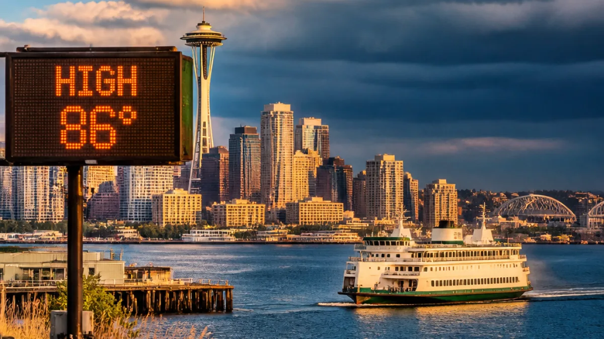
Warm spell builds this week; Thursday brings storm chance
A strengthening area of high pressure over the Pacific Northwest will push a period of warm, drier weather across the Puget Sound region through midweek, forecasters say. The change is expected to bring daytime highs into the 80s in many inland locations Tuesday and Wednesday, with the Seattle metro area warming enough by Tuesday afternoon to create a moderate heat risk for people who spend long periods outdoors or lack air conditioning.
Overnight conditions Monday and Tuesday are forecast to remain comfortable, with lows around the mid-50s in neighborhoods near the water. The sustained warmth will also affect areas east of the Cascades, where low humidity and drying vegetation are increasing wildfire danger.
Thunderstorm possibility on Thursday
Meteorologists say a low pressure area offshore could dip close enough to western Washington on Thursday to introduce instability and bring a chance of showers and isolated thunderstorms. Forecast models do not all agree on the timing or coverage, but several continue to suggest at least some thunderstorm potential.
- Tuesday–Wednesday: Inland highs climbing into the 80s.
- Tuesday afternoon: Moderate heat risk for many in the Seattle metro and areas south of the city.
- Thursday: Chance of showers or thunderstorms; timing uncertain.
- Friday–weekend: High pressure likely rebuilds; a return to drier, warmer conditions and temperatures into the 80s.
The potential thunderstorms could occur at any time of day if they develop, officials said, so residents with outdoor plans should monitor local forecasts and be prepared to move activities indoors. The National Weather Service typically advises people to avoid open areas and seek shelter in a substantial building or a hard-topped vehicle if lightning is observed or thunder is heard.
Local impacts and preparedness
For Seattle households and community groups, the combination of heat and intermittent storms carries several implications. Cooling can be limited in many older homes and apartments across the city; those without air conditioning should consider identifying nearby public cooling options such as libraries, community centers, or cooling shelters if municipal programs are activated. Neighbors, especially older adults and people with medical conditions, should be checked on during the warmer afternoons.
Meanwhile, state and county fire agencies are watching conditions east of the Cascades, where wildfire risk is increasing due to warm temperatures, low humidity and drying fuels. Although western King County remains relatively green, smoke from fires to the east could affect air quality if active burns develop.
| Day | Expected highs | Primary concern |
|---|---|---|
| Monday night | Mid-50s (lows) | Comfortable overnight temperatures |
| Tuesday–Wednesday | Into the 80s inland | Moderate heat risk for extended outdoor exposure |
| Thursday | Uncertain (warm) | Chance of showers/thunderstorms |
| Friday–Weekend | Back into the 80s | Dry, warm conditions expected |
Residents should stay hydrated, wear lightweight clothing during warm afternoons, and keep an eye on official forecasts for any watches or warnings. Local utility and emergency services updates will provide guidance if heat or storm threats evolve into higher-impact events.
















