A magnitude 4.2 earthquake shook the region around Frazier Park in Kern County at 3:38 a.m. Sunday, the U.S. Geological Survey reported. The agency placed the epicenter about 1 mile east-southeast of the mountain community at a depth of roughly 8 miles.
What residents experienced and what officials say
The USGS initially listed the event as magnitude 4.4 before revising it downward to 4.2. Through the agency's online "Did You Feel It?" system, more than 586 people have submitted accounts describing light shaking. Reports came from cities across the region, including Anaheim, Porterville, Los Angeles and Pasadena, according to the agency's community response summary.
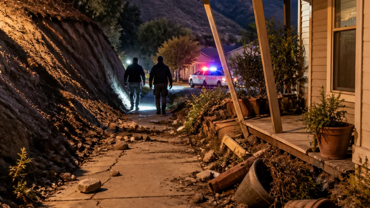
The USGS assigned a Green Alert to the event, indicating a low likelihood of casualties and significant damage. The agency noted that recent temblors in the area have sometimes produced secondary hazards such as landslides and liquefaction in susceptible locations.
Practical information for local residents
- If you felt the earthquake, you can submit details to the U.S. Geological Survey through its "Felt Report" form to help scientists map shaking intensity.
- Inspect your home for visible damage — check foundations, chimneys, water heaters and gas lines. If you suspect a gas leak, leave the building and call 911 and the utility company from a safe location.
- Be aware of possible secondary hazards such as rockslides on mountain roads and localized ground failure in low-lying or water-saturated soils.
Seismologists measure magnitude to quantify the energy released at an earthquake's source; magnitudes between about 2.5 and 5.4 are commonly felt but seldom cause widespread destruction. The USGS maintains that many residents in this region live in structures engineered to resist shaking, though older buildings constructed with unreinforced masonry remain more vulnerable.
| Detail | Information |
|---|---|
| Time | 3:38 a.m. (local) |
| Magnitude | 4.2 (initially 4.4) |
| Depth | 8 miles |
| Epicenter | About 1 mile ESE of Frazier Park |
| Community reports | 586+ submissions via USGS felt-report system |
Local emergency agencies typically advise residents to "Drop, Cover and Hold On" during shaking and to have a family emergency plan and supplies ready. The USGS also requests photographs and detailed observations from people who documented effects such as cracks, fallen items or landslides, which can be submitted to regional news outlets and the agency's online tools to assist post-event analysis.
No official statements from county emergency management or first-responder agencies reporting injuries or significant damage were available at the time of publication. News Block will update this report if local authorities release further information.