
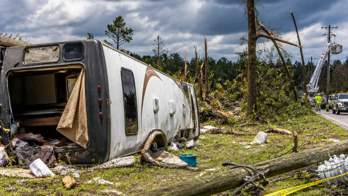
An EF-1 tornado with estimated winds of 90 mph toppled a camper with a person inside and left a trail of damaged trees and homes during storms that swept through the Charlotte area Friday evening, a National Weather Service damage assessment team reported Saturday.
Path and timing
According to the NWS office in Greer, S.C., the twister touched down near Casar in Cleveland County at 6:49 p.m. and tracked roughly 7 miles east, crossing into far northwestern Lincoln County and dissipating near the Lincoln–Catawba county line about 7 p.m. Meteorologists said the tornado carved a path about 150 yards wide at times.
Damage and injuries
NWS damage inspectors reported numerous uprooted and snapped trees and several homes that sustained primarily minor damage. The assessment noted concentrated destruction where the storm crossed local roads.
- The tornado overturned a camper that had a person inside; that individual suffered minor injuries, the NWS said.
- Inspectors found the most concentrated damage along Dirty Ankle Road and Ankle Road, and near Parker Road by Jesse Mountain Road.
- After moving east out of Cleveland County, the twister damaged trees near N.C. 10 in Lincoln County before dissipating.
"Several large pine trees were uprooted or snapped near the tops of their trunks"
The damage pattern, including trees falling in a convergent arrangement and localized structural impacts, supported the NWS determination that the event was tornadic.
Wider impact and context
Storms that swept the Carolinas Friday afternoon knocked out power for about 21,000 customers and prompted severe thunderstorm warnings across the region. The rural portions of eastern Cleveland and western Lincoln counties have a long history of tornadic activity; the NWS report noted destructive storms in the same areas dating back decades, including a deadly tornado on May 5, 1989, which killed four people.
| Metric | Reported |
|---|---|
| Maximum wind estimate | 90 mph |
| Path length | 7 miles |
| Path width | 150 yards |
| Time on ground | ~6:49 p.m. to 7:00 p.m. |
| Power outages | ~21,000 customers |
While this event was rated an EF-1 — the second-lowest category on the NWS Enhanced Fujita Scale — it nonetheless produced hazardous localized impacts, including personal injury and property damage. Emergency managers and utility crews typically focus first on search and rescue, clearing downed trees from roads, and restoring critical power and services. Residents in affected counties should remain alert for ongoing utility repairs and any local advisories as crews complete damage assessments.
News Block will continue to monitor updates from the National Weather Service and local authorities as more information becomes available.
















