
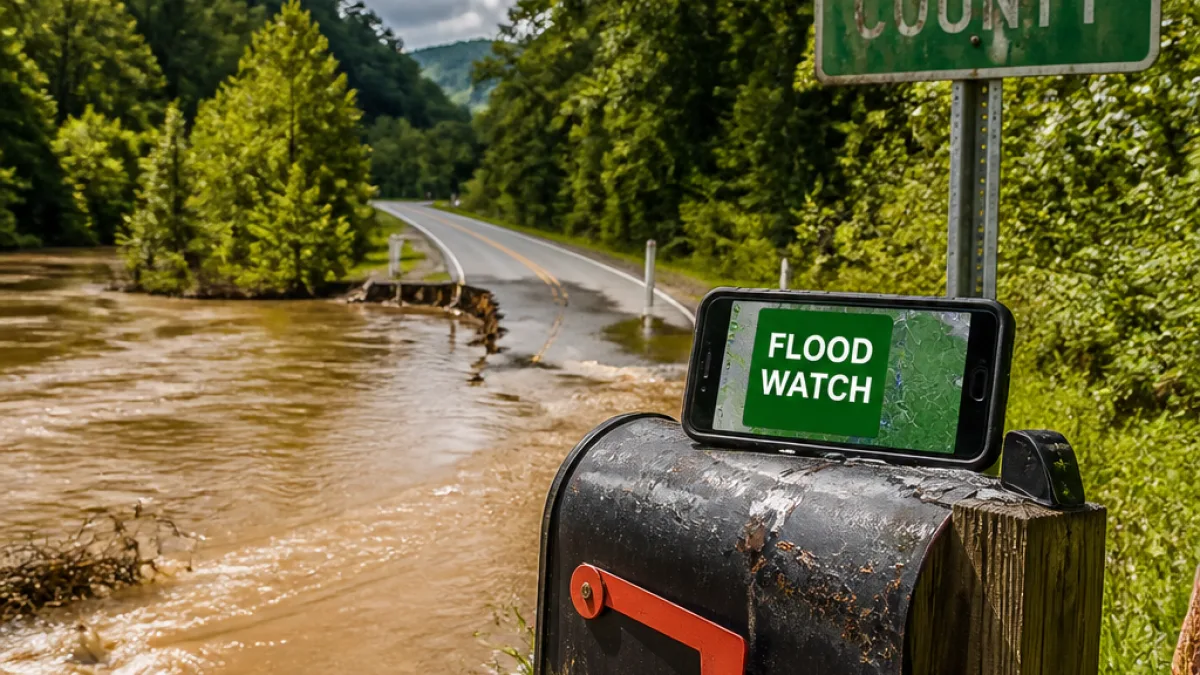
The National Weather Service in Blacksburg, Virginia, issued a Flood Watch late Sunday for parts of northwestern North Carolina that remains in effect until 8 p.m. Monday. The watch covers Watauga, Wilkes and Yadkin counties, where forecasters say "flooding caused by excessive rainfall continues to be possible."
Who is at risk
The watch warns that heavy, prolonged rainfall can produce excessive runoff and raise water levels in rivers, creeks and streams. The NWS says that low-lying and flood-prone locations — including poor drainage and urban areas — are most vulnerable, and that creeks and streams may rise out of their banks.
"Flooding caused by excessive rainfall continues to be possible."
Officials urge people in flood-prone locations to stay alert to changing conditions and to monitor later forecasts for possible Flood Warnings, which would indicate more immediate danger.
Safety steps to take now
The NWS provided specific guidance for residents who live in or travel through areas that may flood. Key precautions include:
- Move to higher ground if you live or camp in a low-lying area.
- If instructed to evacuate, leave immediately; lock your home and, if time allows, disconnect utilities and appliances.
- Avoid basements or rooms where water has submerged electrical outlets or cords; evacuate if you notice sparks or unusual electrical noises.
- Never walk through floodwaters — even 6 inches of fast-moving water can knock someone off their feet.
- Do not drive through flooded roadways; the NWS notes that about 12 inches of rushing water can carry away most cars.
When driving in heavy rain, the agency recommends using headlights for visibility, staying in middle lanes when possible to remain on higher pavement, avoiding puddles to reduce the risk of hydroplaning and giving extra space to larger vehicles.
| Item | Detail |
|---|---|
| Issuing office | NWS Blacksburg VA |
| Effective | Sunday 11:51 p.m. to Monday 8 p.m. |
| Counties affected | Watauga, Wilkes, Yadkin |
What to watch for
Residents should keep an eye on local forecasts and be prepared to act quickly if conditions worsen and a Flood Warning is issued. If you become trapped by moving water, seek the highest safe point and call emergency services at 911.
Local emergency management offices and the NWS will issue updates as the situation develops. For now, people in the three counties named in the watch should assume conditions can deteriorate and take basic precautions to protect life and property.
















