
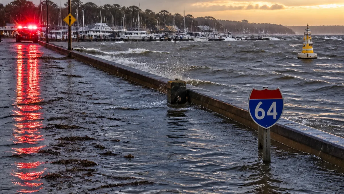
Flood watch covers Hampton through Sunday evening
The National Weather Service has placed much of Hampton Roads — including Hampton and areas along and south of Interstate 64 — under a flood watch through Sunday evening as a line of strong thunderstorms moves through the region. Forecasters say scattered to widespread storms could produce localized rainfall totals of 3 to 5 inches, raising the risk of flash flooding in low-lying and poorly drained areas.
Heavy downpours will be the primary concern this afternoon and evening, with additional impacts expected along the coastline. Officials also warned of minor tidal flooding in locations adjacent to the Chesapeake Bay and tidal rivers late Sunday night. Coastal flood statements have been issued for those areas to help communities prepare for higher-than-normal water levels.
- Flood watch duration: Through Sunday evening
- Expected rainfall: Localized totals of 3–5 inches possible
- Marine conditions: Small craft advisories begin Sunday afternoon and continue into Monday
| Hazard | Timing | Notes |
|---|---|---|
| Flash flooding | Afternoon–evening (through Sunday) | Heavy thunderstorms, 3–5 inches in spots |
| Tidal flooding | Sunday night | Minor flooding along Chesapeake Bay and tidal rivers |
| Hazardous marine conditions | Sunday afternoon–Monday | Small craft advisories in effect |
City and emergency officials typically tell residents to take these watches seriously because flash flooding can develop quickly and with little warning. Low-lying neighborhoods, underpasses and streets with poor drainage are the most vulnerable. Motorists are reminded that even a few inches of moving water can stall vehicles or sweep them off the road.
Residents are urged to monitor the latest forecasts and avoid driving through flooded roadways.
Boaters and anyone with activity on the water should take heed of the small craft advisories beginning Sunday afternoon and lasting into Monday, as storm-driven gusts and choppy seas can create hazardous conditions. Along the shoreline, property owners who have experienced nuisance tidal flooding in past events should be ready for minor inundation late Sunday into the night.
This brief period of heightened rainfall comes amid a forecast of cooler temperatures through midweek, followed by a gradual warming trend later in the week and into next weekend. For now, the priority is immediate safety: keep an eye on updates from the National Weather Service, allow extra time for travel, and never attempt to drive through floodwaters.
Local officials and utility crews often monitor flood-prone streets and vulnerable infrastructure during such watches. Hampton residents with questions about road closures or city services should consult municipal channels and local emergency information as conditions evolve.