New Jersey residents should prepare for a period of heavy rainfall late Saturday night into Sunday morning that could produce localized flash flooding, especially in urban corridors and near small streams, the National Weather Service said.
What to expect
Saturday will be mostly dry and seasonable, with afternoon highs in the upper 70s to lower 80s. A warm front moving northward will push showers into the region late Saturday night. The heaviest precipitation is forecast overnight and into Sunday morning before a cold front ushers in drier air and improving conditions later Sunday.
The weather service warned that while no watches or warnings had been issued heading into the weekend, brief rainfall rates could reach 2 inches per hour in the strongest downpours, increasing the risk of fast runoff in paved and built-up areas.
Where impacts are most likely
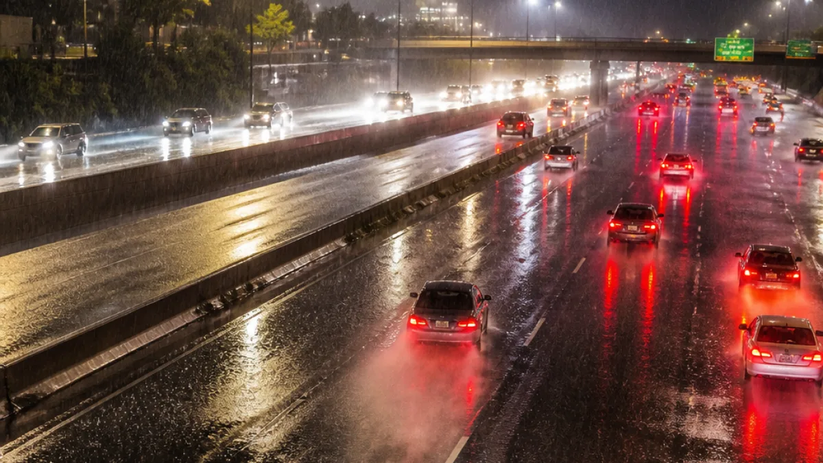
- I-95 corridor: Forecasters highlighted the Interstate 95 corridor as an area where heavier totals and rapid runoff could lead to localized flooding that affects travel.
- Urban neighborhoods: City streets and low-lying roads could see ponding and temporary closures from intense bursts of rain.
- Small streams and river valleys: Rapid rises are possible where soils are saturated or drainage is restricted.
Rainfall totals of roughly 0.5 to 1.5 inches are likely across much of the state, with a narrower band potentially seeing 1 to 3 inches. Exact placement of the heaviest amounts remains uncertain.
| Timing | Expected rainfall |
|---|---|
| Late Saturday night–Sunday morning | 0.5–1.5 in (pockets 1–3 in) |
| Peak rates | Up to 2 in/hour in heaviest downpours |
Practical guidance for residents
Local officials and the National Weather Service recommend the following precautions:
- Avoid driving through flooded roadways; turn around, don’t drown.
- Keep drains and gutters clear where possible to reduce ponding near buildings.
- Monitor changing forecasts overnight; have a way to receive local emergency alerts.
Thunder and strong winds are not expected to be a major factor this weekend, according to forecasters. Sunday morning showers should taper off as drier air moves in from the northwest, with humidity falling and conditions improving through the afternoon. High pressure is forecast to keep Monday and Tuesday largely dry and a touch cooler than seasonal norms before humidity edges up later in the week.
Transportation agencies and municipal public works departments typically issue travel advisories if flooding develops; drivers should check with local police and road crews for real-time closures, particularly along I-95 and other major routes.
News Block will update this story if the National Weather Service issues watches or warnings or if forecast details change.