
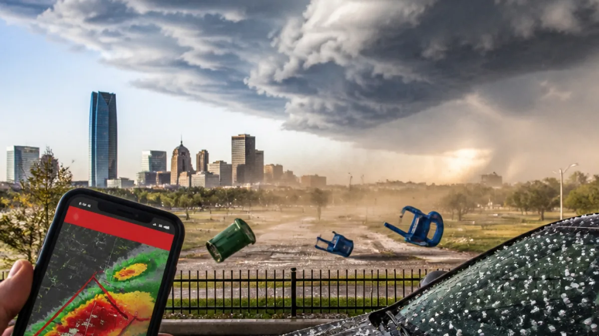
Oklahoma residents should prepare for a round of severe thunderstorms Saturday afternoon and evening that forecasters say could bring damaging straight-line winds and hail across large parts of the state.
Timing and main threats
Forecasters are tracking increasing storm chances beginning in the early afternoon, with the highest odds of storms between about 3 p.m. and midnight. Temperatures will be hot and humid before storms arrive — with highs into the upper 90s in places such as the Oklahoma City metro.
The primary hazards expected with these storms are:
- Damaging winds, with gusts forecast around 60–70 mph.
- Hail up to about quarter size (roughly 1 inch) in parts of central and eastern Oklahoma.
- Heavy rain leading to localized flooding where storms train or stall.
Where the risk is highest
Forecasters cite a widespread threat from Tulsa through Oklahoma City to Lawton, with a marginal to slight severe-weather risk extending across much of the map. Eastern Oklahoma faces a slightly higher severe-risk area this afternoon and evening.
| Area | Timing | Primary threat |
|---|---|---|
| Central Oklahoma (OKC metro, Stillwater) | About 3 p.m. to 6 p.m. | Damaging winds, quarter-size hail |
| Eastern Oklahoma (Tulsa area) | Late afternoon into evening | Damaging winds, hail |
| Southwest to Lawton | Afternoon into night | Strong winds, heavy rain |
Practical steps for residents
With temperatures near 98 degrees this afternoon in parts of the state, forecasters also emphasize heat precautions before storms move in. Recommended safety actions include:
- Have a plan to shelter from severe winds — identify an interior room or basement.
- Secure outdoor furniture and loose objects that can become windborne.
- Charge phones and keep a portable radio or weather app handy for warnings.
- Stay hydrated and limit outdoor exposure during peak heat and UV hours.
Local meteorologists note the state has already seen episodes of damaging wind this summer, including a derecho. That recent history raises concern that straight-line winds with tonight's storms could again produce widespread damage to trees, power lines and structures.
Storms are expected to subside by midnight, with cooler temperatures returning Sunday. Residents should monitor local National Weather Service updates and heed any watches or warnings as conditions evolve.
















