
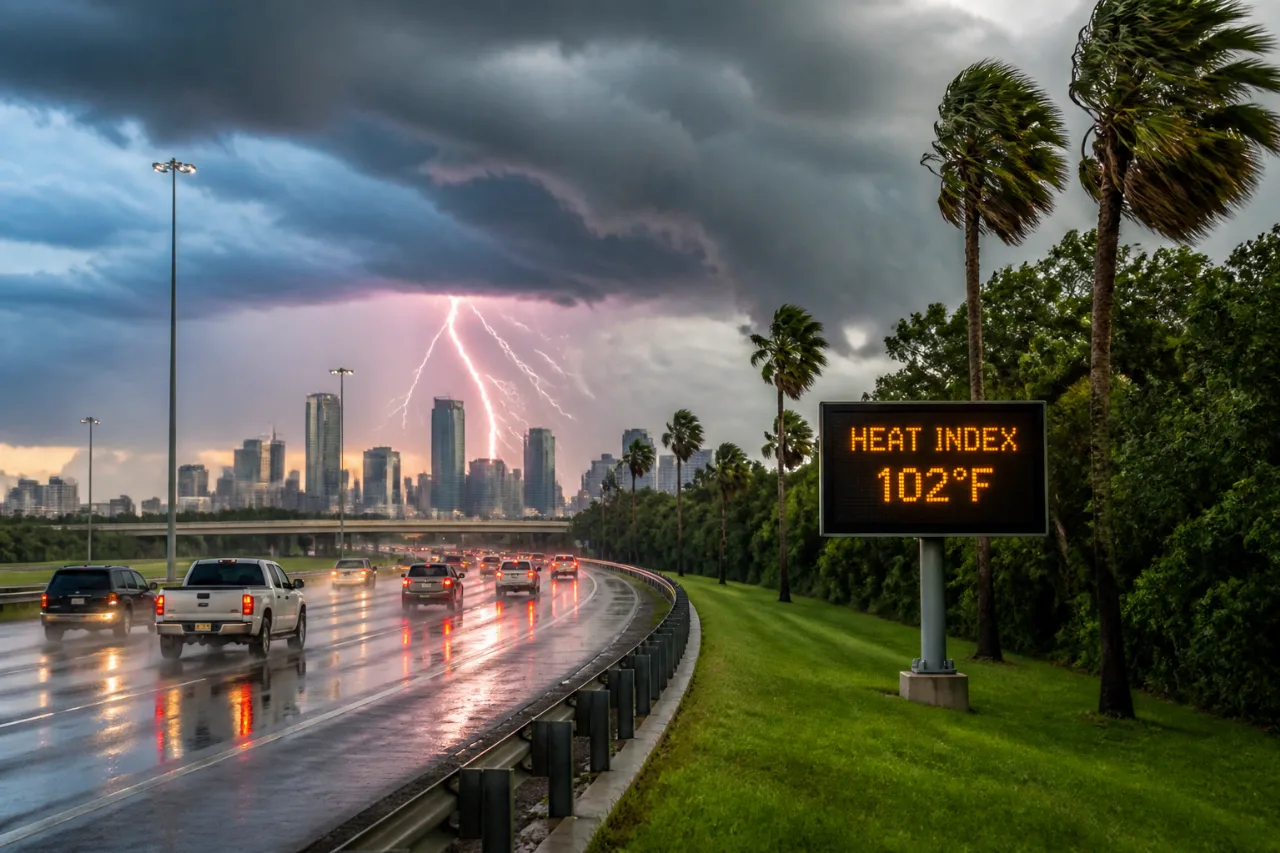
A surge of tropical moisture from the Gulf of Mexico will increase shower and thunderstorm coverage across the Houston region beginning Friday and continuing through the weekend, meteorologists said Thursday. Heat will persist alongside the wetter pattern, producing high temperatures in the mid-90s and heat-index readings near or above 100 degrees.
What to expect
The disturbance responsible is an elongated trough in the western Gulf. It is currently disorganized and forecasters do not expect it to develop into a tropical cyclone over the next seven days, but it will transport deep moisture northward into coastal and inland Southeast Texas.
"Tropical storm or hurricane development is not expected in the Atlantic basin over the next seven days."
That said, the extra humidity and instability will favor scattered to numerous showers and thunderstorms. Stronger cells could produce brief heavy rainfall, frequent lightning and gusty winds.
- Timing: Showers and storms increase Friday and remain likely through the weekend into early next week.
- Temperatures: Highs near mid-90s with heat indices in the triple digits.
- Threats: Brief intense downpours, lightning, localized wind gusts and ponding on roadways.
Safety and preparation
Residents should plan for periods of heavy rain and consider these precautions:
- Avoid driving through flooded roadways; even shallow moving water can disable vehicles.
- Secure outdoor items and be prepared for sudden gusts near storms.
- When thunder is heard, seek shelter indoors until 30 minutes after the last thunderclap.
- Monitor forecasts and local alerts; short-term radar updates can show where the heaviest cells are producing downpours.
Short-term outlook (condensed)
| Day | Temp (High) | Primary hazards |
|---|---|---|
| Friday | Mid-90s | Scattered storms; brief heavy rain |
| Saturday | Mid-90s | Widespread showers/storms possible |
| Sunday | Upper-80s to low-90s | Some storms; slightly drier |
Although the current Gulf feature is not expected to organize into a named tropical system, the moisture it supplies can still drive localized flooding and frequent lightning—hazards that are often underappreciated in non-tropical scenarios. Keep a close eye on local advisories, and prioritize personal safety during any strong storms.
For real-time updates, consult local weather authorities and short-term radar as storms evolve.















