
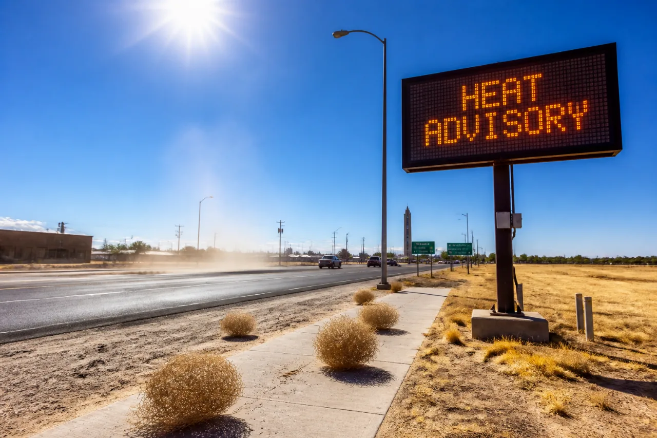
The National Weather Service has issued a heat advisory and a fire weather watch for the Cheyenne, Wyoming, area beginning Saturday as an upper-level ridge brings hotter, drier conditions to the region.
What to expect
Forecasters said daily highs are forecast to climb from about 90 degrees on Saturday to near 94 degrees by Tuesday, while overnight lows are expected to remain warm in the mid-60s to around 70, offering limited nighttime relief. Afternoon relative humidity is projected to fall into the 10%–20% range, increasing both heat stress and the potential for rapid fire spread.
The heat advisory is scheduled to run from noon Saturday through 9 p.m. Monday. The fire weather watch will be in effect from Saturday afternoon through Sunday evening because of low humidity combined with breezy conditions. South winds are expected at 10–15 mph with gusts possibly reaching 30 mph.
| Day | Forecast high | Notes |
|---|---|---|
| Saturday | 90°F | Beginning of heat advisory; breezy |
| Sunday | Mid-90s expected by Tuesday | Fire weather watch in effect through evening |
| Tuesday | 94°F | Warm overnight lows around 65–70°F |
Hazards and guidance
- Low humidity and gusty winds raise the risk that any new fires will spread quickly; officials advise against outdoor burning under the watch.
- Higher daytime temperatures with limited overnight cooling increase the chance of heat-related illnesses; drinking fluids and staying in air-conditioned spaces are recommended.
- Forecasters noted a 20% chance of showers or thunderstorms before 9 p.m. Friday, but a dry lower atmosphere could prevent rain from reaching the ground and produce strong, erratic gusts if storms try to develop.
Earlier in the week, conditions are expected to be mostly clear. Friday’s forecast called for a high near 84°F with only a 20% chance of afternoon and evening showers or thunderstorms. Even so, the dry lower layer could lead to localized microbursts with sudden winds of 50–60 mph before showers dissipate, according to the weather office.
Implications
Warm daytime temperatures combined with overnight humidity levels that remain low limit natural cooling, increasing cumulative heat stress for outdoor workers, vulnerable populations and livestock. Simultaneously, the fire weather watch underlines elevated wildfire potential: with humidity in the low teens and gusty winds, small ignitions can spread rapidly.
Residents in and near Cheyenne should monitor updates from the National Weather Service, postpone any planned outdoor burning while the watch is active, and take standard heat-safety precautions: remain hydrated, seek air-conditioned shelter when possible, and check on people at higher risk, such as the elderly and those with chronic health conditions.
Stay tuned to local forecasts for any changes to watches or advisories as the upper-level pattern evolves.















