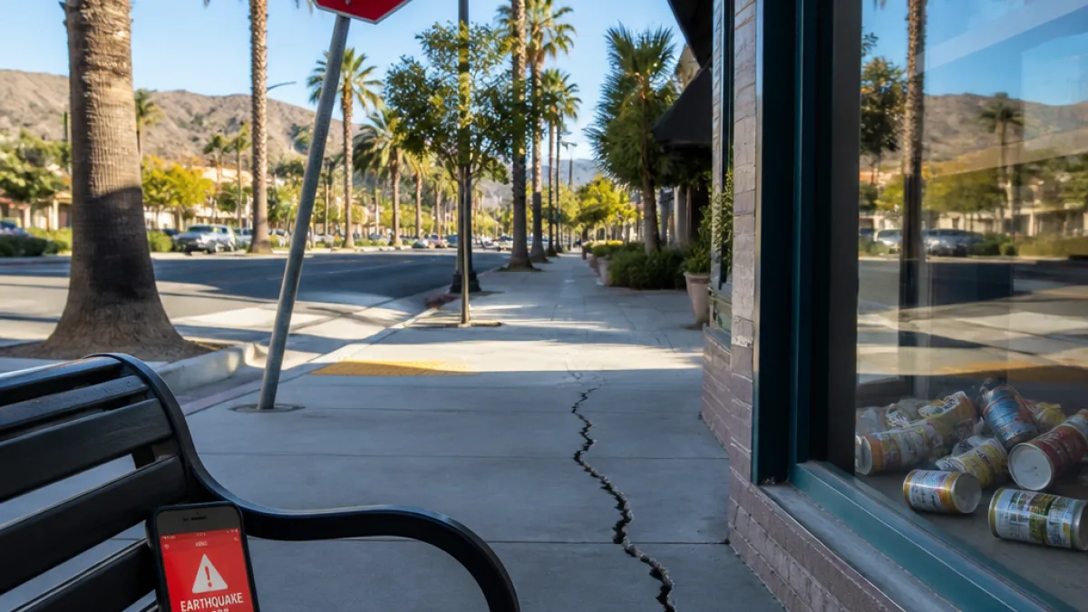
What changed for Santa Clarita residents: light shaking was reported across the city and nearby communities Monday morning after a magnitude 4.3 earthquake was recorded near Randsburg, the U.S. Geological Survey said. The temblor was automatic ally located at 9:40 a.m. PT and was felt across parts of the San Fernando Valley, Valencia and Santa Clarita.
Where and when the temblor occurred
The USGS placed the event roughly 9 miles west-southwest of Randsburg, with a reported depth of 5.6 miles. The detection was registered by 30 monitoring stations, and the initial location and magnitude were produced by the agency’s automatic system. The USGS noted the report has not yet completed scientific review.
What residents reported
Local and regional observers posted reports of brief shaking online shortly after the event. The USGS response page received felt reports from the San Fernando Valley, Valencia, Santa Clarita and other parts of Los Angeles County.
“Los Angeles, I’m certain that was an earthquake just happened this moment #earthquake,” one user wrote on X shortly after the tremor.
Immediate impacts and advice
There were no official notices of injury or damage in Santa Clarita from the USGS at the time of the report. For residents, the primary near-term impacts are the potential for aftershocks and the reminder to review earthquake readiness:
- Check for obvious damage to homes and utilities.
- Expect and be prepared for possible smaller aftershocks.
- Review family emergency plans and supplies.
Event summary table
| Parameter | Detail |
|---|---|
| Magnitude | 4.3 |
| Time (PT) | 9:40 a.m. |
| Location | ~9 miles WSW of Randsburg |
| Depth | 5.6 miles |
| Monitoring stations | 30 |
The U.S. Geological Survey remains the authoritative source for location and magnitude data and will update the event if additional scientific review adjusts the initial automatic parameters. Local officials and utility providers typically assess public safety and infrastructure after such events and will notify residents if any action is required.
News Block will monitor USGS updates and statements from Santa Clarita emergency services and will publish new information if the agency revises the magnitude, location or reports any impacts to the community.