
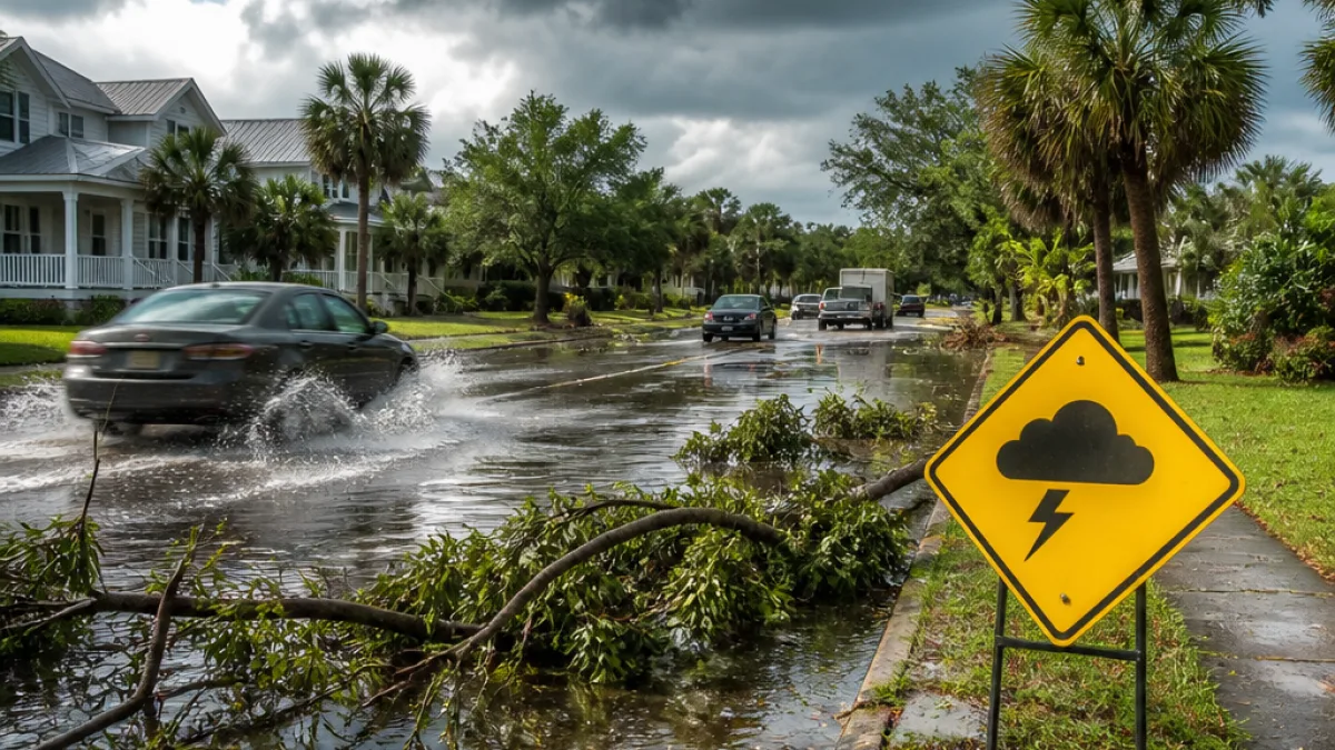
What changes for residents: South Carolina faces a heightened risk of strong to severe thunderstorms beginning Sunday afternoon and continuing into Monday. The primary threats are damaging straight-line winds, hail and pockets of flash flooding from heavy downpours.
Timing and impacts
Forecasters say scattered showers and thunderstorms are possible Saturday night, but the greater severe threat is expected Sunday, mainly after 3 p.m. Storms could continue into Sunday night and redevelop Monday. Expect intermittent heavy rain with localized rainfall totals that may cause brief flooding.
- Damaging winds: Gusts may topple limbs or cause isolated structural damage.
- Hail: Small to possibly larger hail in stronger cells.
- Flash flooding: Intense rain rates could produce rapid urban and poor-drainage flooding.
- Timing: Main window Sunday afternoon into Sunday night, with additional rounds Monday.
Tonight: Scattered showers and thunderstorms before 9 p.m., then a slight chance of showers after 2 a.m. Lows near 72 degrees. Chance of precipitation around 30 percent.
| Day | Forecast | High / Low | PoP (Chance of Precip.) |
|---|---|---|---|
| Sunday | Showers and thunderstorms likely, mainly after 3 p.m. | Near 90°F | 60% |
| Sunday Night | Showers and thunderstorms before 2 a.m., then chance of showers | Low around 68°F | 80% |
| Monday | Showers and thunderstorms likely, then additional afternoon storms | High near 80°F | 80% |
| Tuesday | Chance of showers, then showers and thunderstorms likely after 2 p.m. | High near 82°F | 60% |
What residents should do now
Prepare for sudden heavy rain and strong winds. Secure outdoor furniture and loose items that could become projectiles. Motorists should be cautious of flooded roadways and reduced visibility during downpours; never drive through standing water. If you have outdoor plans Sunday afternoon or evening, consider moving them indoors or postponing.
Keep a way to receive weather alerts—phone notifications, local TV or radio—and monitor updates from the National Weather Service and local meteorologists as the situation evolves.
Conditions should trend drier and warmer by midweek, with sunnier days expected Thursday and beyond, but residents should remain alert through Monday while multiple rounds of storms are possible.
















