
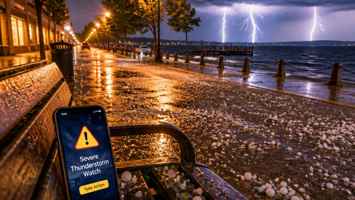
The National Weather Service has issued a Severe Thunderstorm Watch that includes parts of northern New York’s North Country, remaining in effect until 4 a.m. Wednesday. The watch encompasses several counties that face the prospect of fast-moving storms capable of producing damaging wind gusts, large hail and frequent lightning.
What to expect overnight
Forecasters say storms late Tuesday into Wednesday could produce:
- Damaging wind gusts up to 70 mph
- Large hail up to 2 inches in diameter
- Frequent cloud-to-ground lightning and torrential downpours
- A possibility of one or two tornadoes, though not guaranteed
Counties included
In New York, the watch explicitly covers several North Country counties. The watch also extends into northern Vermont and New Hampshire.
| State | Counties under the watch |
|---|---|
| New York | Clinton, Franklin, Essex, St. Lawrence |
| Vermont | Chittenden, Franklin, Addison, Grand Isle, Lamoille, Washington, Orleans, Caledonia, Orange, Essex |
| New Hampshire | Grafton, Coos |
Timing and safety guidance
A cold front moving through the region is expected to trigger storms late Tuesday and carry them overnight into early Wednesday. Storms are currently impacting northern Vermont and are likely to spread southward through the night; central Vermont is expected to see increased storm activity after 10 p.m., with southern Vermont seeing storms later.
“If you can hear thunder, you are close enough to the storm to be struck by lightning.”
That guidance highlights the danger of lightning even if a storm appears distant. Meteorologists urge residents to take the watch seriously: a watch means conditions are favorable for severe storms to develop, while a warning indicates a storm is imminent or occurring for a specific location.
Practical steps to take now:
- Keep mobile devices charged and disable Do Not Disturb notifications overnight so you receive urgent warnings.
- Identify a safe interior location in your home or workplace — away from windows and exterior walls — to shelter if a warning is issued.
- Avoid driving in heavy downpours and be alert for fallen trees or power lines after strong winds.
- Bring pets indoors and secure outdoor furniture that can be blown away.
Residents can track storms in real time using local weather apps and the National Weather Service radar. Because storms will not affect every location continuously during the watch period, remain vigilant and be prepared to act quickly if warnings are issued for your specific county.
Local authorities advise turning off or pausing outdoor activities and checking on vulnerable neighbors and family members before the storms arrive. Stay tuned to official sources for updates as the situation develops overnight.















