
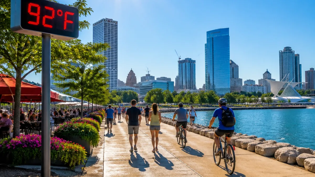
After a comfortable, mostly sunny weekend, southeast Wisconsin residents should prepare for a return to summer heat early next week. Temperatures rise sharply Monday through Wednesday, with afternoon readings expected in the lower 90s and humidity pushing how hot it actually feels into the mid-to-upper 90s.
What changes for residents
Saturday and Sunday will be the last mild days before the heat arrives. Expect morning lows in the 60s and afternoon highs in the low-to-mid 80s, with abundant sunshine and little chance of rain. That makes for favorable conditions for outdoor plans this weekend.
Starting Monday, temperatures climb. The hot, humid air mass will linger through at least Wednesday, bringing hotter afternoons and more oppressive humidity during peak daytime hours. After midweek, forecast models show most of the region will remain mostly dry until storm chances begin to increase again later in the week.
"feel" like the mid-to-upper 90s during the peak heating of the day
Forecast snapshot
| Day | Morning | Afternoon high | Notes |
|---|---|---|---|
| Saturday | 60s | Low-to-mid 80s | |
| Sunday | 60s | Low-to-mid 80s | |
| Monday–Wednesday | — | Lower 90s |
Practical advice
- Stay hydrated during peak heat hours and limit prolonged outdoor exertion when possible.
- Check on older adults, young children and people with health conditions who are more vulnerable to heat.
- Plan outdoor chores or exercise for mornings or evenings when temperatures will be lower this weekend.
The milder weekend offers a brief respite before the hotter stretch. Residents should monitor local forecasts and heat advisories as the pattern evolves early next week.
Brooke Steiner
Wisconsin Correspondent, News Block
















