
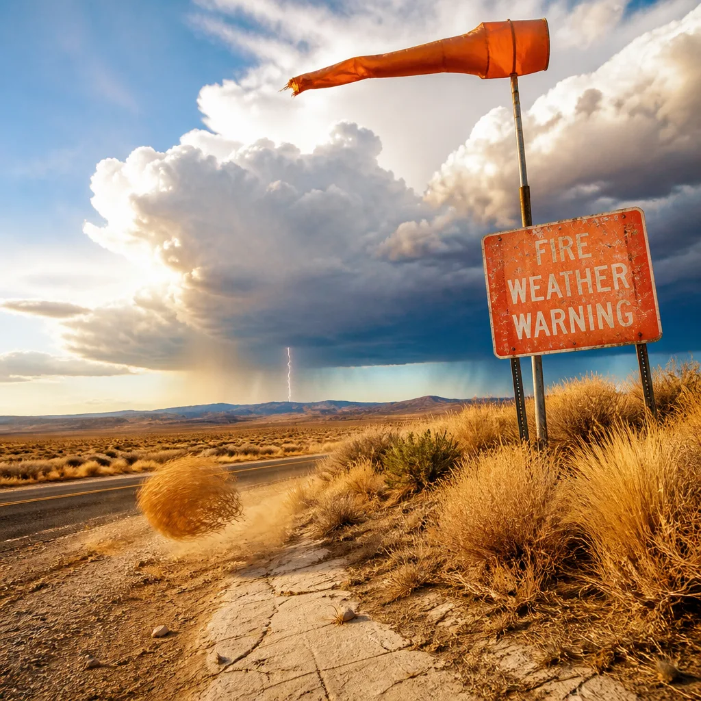
Extremely dry fuels paired with gusty winds will create elevated fire weather conditions through Saturday night, forecasters say, with hot temperatures persisting into next week that will keep the risk high. Temperatures are expected to remain mostly in the 90s over the next seven days, and some lower-elevation areas could approach 100 degrees by Wednesday.
Immediate concern: dry fuels and gusty winds
The greatest near-term hazard comes from the combination of very dry vegetation and a period of increased winds Saturday into Saturday night. That mix favors rapid ignition and fast-moving fires, particularly if any outdoor ignition source is present.
- Primary threats: quick fire starts and rapid spread where fuels are extremely dry.
- Timing: gusty conditions expected Saturday and into Saturday night.
- Temperature trend: highs mostly in the 90s through Monday, with possible near-100 readings in lower elevations by Wednesday.
Lightning risk early next week
A small surge of monsoonal moisture moving northward will bring a modest chance for thunderstorms on Tuesday. While overall rainfall totals look limited, the lightning threat is notable because lightning strikes can ignite new fires in parched fuels.
Forecasters emphasize that even minimal lightning can create significant problems under these conditions. Lightning-caused ignitions are of particular concern in southern mountain zones where vegetation is driest.
"Lightning fires can’t be ruled out, especially where vegetation is critically dry," the forecast summary warned.
What residents should do
Given the elevated danger, residents and visitors in affected areas should take these precautions:
- Avoid any outdoor burning or use of equipment that can create sparks during gusty periods.
- Report any signs of smoke or fire to local emergency services immediately.
- Prepare defensible space around homes if you live in fire-prone terrain.
- Stay alert to local forecasts and any issued fire-weather or evacuation alerts.
| Period | Forecast |
|---|---|
| Saturday–Saturday night | Gusty winds; extremely dry vegetation; elevated fire spread risk |
| Tuesday | Small chance of thunderstorms and lightning; low rainfall expected |
| Next 7 days | Highs mostly in the 90s; near-100 possible in some lower elevations by Wednesday |
As conditions evolve, local National Weather Service offices and fire agencies will issue any watches, warnings or closures. When vegetation is that dry, even brief, localized events can escalate quickly; take precautions and follow guidance from public safety officials.















