
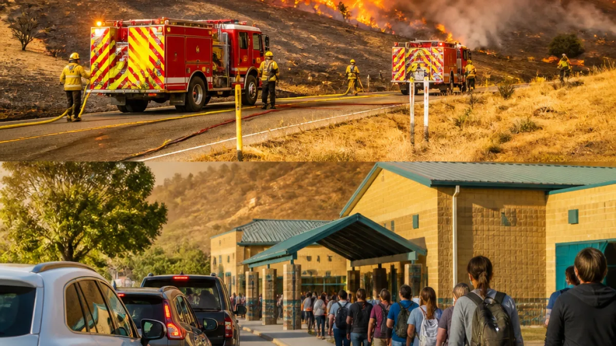
After a slow start to the season, a combination of prolonged dryness and recent thunderstorms with strong winds has driven rapid wildfire growth across Oregon, prompting emergency declarations and evacuations in several rural communities.
State response ramps up
Gov. Tina Kotek issued a preemptive emergency declaration on June 16 to allow Oregon fire agencies to share resources more quickly. As several fires expanded this week, she followed up with conflagration declarations for specific incidents to mobilize additional crews and equipment.
Local officials and incident commanders say conditions — low humidity, warm temperatures and gusty winds — have made containment difficult. The Oregon office of emergency management and county sheriff offices are coordinating evacuations, shelters and road closures.
Major fires reported (as of July 17, 2026)
| Fire | Location | Acreage | Containment | Evacuations / Shelters |
|---|---|---|---|---|
| Hoag / Lower Rock Creek | South of Arlington (Gilliam County) | 10,000 acres | None | Level 3, 2 and 1 evacuations; Arlington Elementary available as shelter |
| Hopkins | North of Condon (Gilliam County) | 4,000 acres | None | Some evacuations along Scott Canyon Lane; temporary shelter at South Gilliam Emergency Services |
| Hulden | East of Highway 19 near Rhea Lane | Unknown | None | Rhea Lane closed to nonessential traffic |
Officials stressed that acreage and containment figures are approximate and subject to change as crews gain access and complete mapping. Some smaller fires are not listed in statewide tallies; the state excludes fires that are more than 90% contained unless evacuation orders remain in effect.
What residents should know
- Evacuation levels: Pay attention to local sheriff office alerts. Level 3 means leave now, Level 2 means be ready to leave, Level 1 means be aware and prepared.
- Shelter locations: Arlington Elementary School is open for evacuees from the Hoag/Lower Rock Creek area. A temporary shelter is also set up at the South Gilliam Emergency Services building for Hopkins Fire evacuees.
- Road closures: Travel restrictions and closures — such as Rhea Lane near the Hulden Fire — are in place in affected areas; check county sheriff and emergency pages before traveling.
Local fire agencies remind people to keep lanes clear for emergency responders, follow evacuation orders immediately and avoid reporting to staging areas unless directed. Resources are being shifted statewide as incidents develop.
As the season progresses, Oregon’s pattern of earlier dry spells followed by heat, lightning and wind episodes has meant that remote grass and brush fires can grow quickly. The state’s preemptive emergency moves aim to reduce delays in resource sharing, but officials say community preparedness remains essential.
News Block will continue to update the list of active fires, containment levels and evacuation information as county and state officials release new figures.
















