
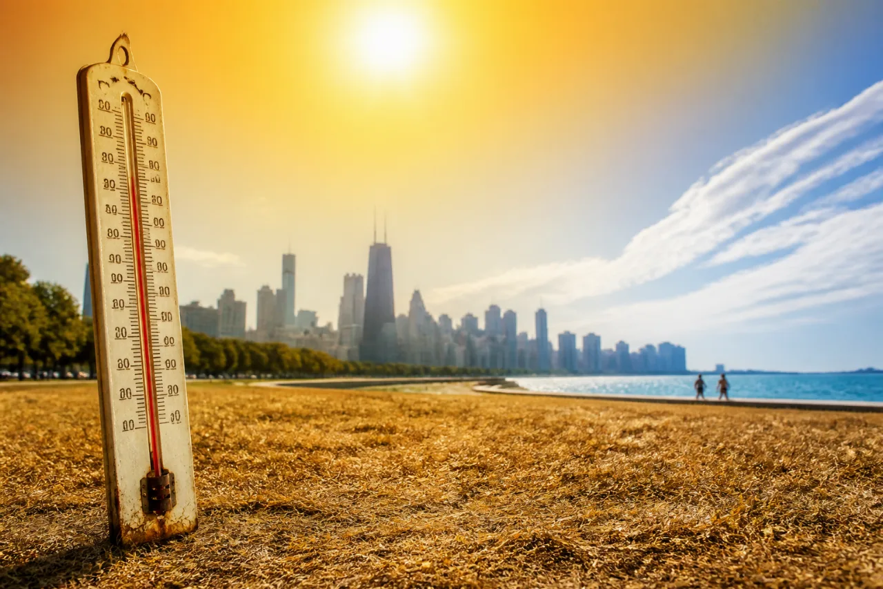
Chicago officials and residents are watching a returning heat dome that AccuWeather says will bring extreme heat across the Plains and Midwest next week. While the city is not forecast to hit the extreme temperatures expected farther inland, forecasters warn that heat combined with humidity will make the region feel substantially hotter than the numbers alone indicate.
What forecasters are saying
AccuWeather projected that RealFeel® temperatures could exceed 100 degrees across many areas from the Plains to the Midwest during the first part of next week. For the Chicago area specifically, AccuWeather said highs will be nearer to the 90s on most days, although it noted that lake breezes along Lake Michigan could occasionally provide relief for neighborhoods closest to the shore.
"As the heat combines with high humidity and intense July sunshine, AccuWeather RealFeel® Temperatures will exceed 100 degrees and reach 105-115 across many areas from the Plains to the Midwest during the first part of next week,"
The National Weather Service for northern Illinois also warned of a return to hot and dry conditions early next week. The NWS outlook indicates a short window of isolated to scattered, generally non-severe storms mainly near and south of the Kankakee River Valley on Friday, then a mainly dry trend through at least Tuesday.
Short-term forecast for the Chicago area
The weather service included a day-by-day look that shows temperatures climbing through the weekend into next week. Forecasters gave the following guidance for the immediate period:
- Friday: partly sunny with afternoon highs in the low-to-mid 80s and northeast winds.
- Saturday: mostly sunny and similar, with highs in the low-to-mid 80s.
- Sunday: sunnier with highs approaching the upper 80s.
- Early next week: a trend into the 90s is possible, with added humidity.
| Day | Forecast high | Night |
|---|---|---|
| Friday | near 82–85°F | around 65°F |
| Saturday | near 84–87°F | around 65°F |
| Sunday | near 87°F | around 67°F |
| Monday–Tuesday | near 90–94°F (trend) | — |
Those numbers reflect a combination of the National Weather Service's detailed day-by-day bulletin and AccuWeather's broader regional heat-dome warning. Where the lake is felt will matter: neighborhoods along the lakeshore should see the most consistent relief from onshore breezes, while inland communities on Chicago's West and South sides can expect the highest daytime readings.
Practical implications for residents
Even when official highs remain in the upper 80s to low 90s, humidity will raise heat stress for people and animals. City services, outdoor workers, transit riders, and older adults are among those most likely to be affected. With the NWS indicating a dry stretch through at least Tuesday, outdoor watering restrictions, increased electricity demand, and wildfire risk in drier nearby areas are all considerations for the coming week.
- Check with employers and supervisors about modified outdoor work schedules.
- Monitor cooling centers and public pool hours if air conditioning is limited at home.
- Keep pets shaded, hydrated and off hot pavement during peak heat.
The next official updates will come from the National Weather Service and AccuWeather as the pattern evolves. Chicagoans should watch local alerts and plan for hotter, drier conditions early next week, while taking advantage of lakefront breezes where available.
















