
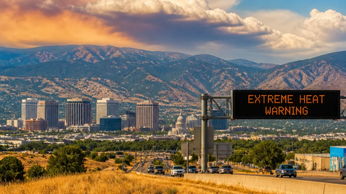
The hottest weather of the year so far will slam much of Utah beginning Saturday and continue into early next week as a strong ridge of high pressure builds over the region, bringing widespread, record-challenging temperatures and heightened hazards for residents.
What changes for residents: many valley locations should expect daytime highs above 100 degrees, parts of southern Utah could approach 110 degrees, and overnight temperatures in some valleys may only fall into the 70s, limiting nighttime relief.
Where and when to expect the worst
Northern Utah, including the Wasatch Front and Cache Valley, is forecast to peak on Sunday, with several sites in position to threaten daily, monthly and even all-time high temperature records. Much of the remainder of the state will contend with prolonged triple-digit heat through the weekend and into early next week.
| Region | Expected peak |
|---|---|
| Wasatch Front & Cache Valley (northern Utah) | Peak Sunday; record-challenging |
| Many valley locations | Above 100°F |
| Southern Utah | Approaching 110°F |
Hazards and secondary impacts
Extreme Heat Warnings remain in effect for much of Utah through the weekend and into early next week. The combination of extreme daytime heat and warm overnight lows increases the risk of heat-related illness, particularly for older adults, young children, people with chronic medical conditions and anyone working outdoors.
The dry, hot conditions will also keep wildfire danger elevated, especially across southern Utah. At the same time, a pattern change is expected next week as monsoon moisture returns, bringing increasing thunderstorm chances and a growing flash-flood threat — particularly in southern Utah where burn scars and canyon terrain can channel sudden runoff.
- Expect little overnight cooling in many valleys; recovery from daytime heat may be limited.
- Keep an eye on local forecasts and warnings for rapidly changing conditions once monsoon moisture arrives.
- Be aware of both heat and post-heat storm hazards: wildfire risk now, flash floods next week.
Practical steps for residents
During prolonged extreme heat events, public-health measures help reduce risk:
- Limit strenuous outdoor activity during peak heat hours.
- Stay hydrated and use cooling strategies at home or seek air-conditioned public spaces if needed.
- Check on neighbors who may be vulnerable.
- Follow guidance from local authorities about evacuations or closures in wildfire-affected areas.
Forecasters say the heat will be mostly dry with generally clear skies through the event, but conditions should shift as monsoon moisture moves back into the region next week, increasing thunderstorm and flash-flood potential in southern Utah.
Residents should monitor local weather updates and heed any advisories or warnings issued for their area as the situation evolves.
— Miles Christensen, News Block